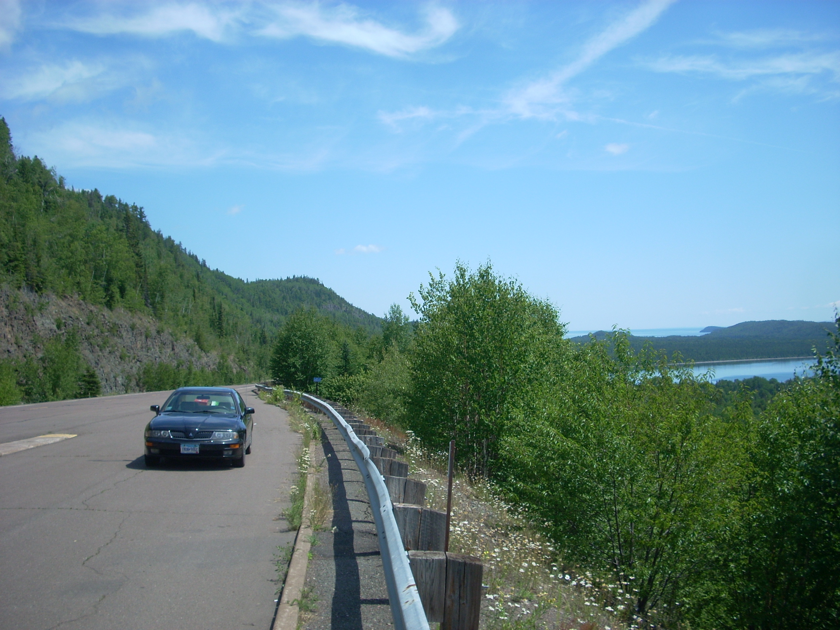
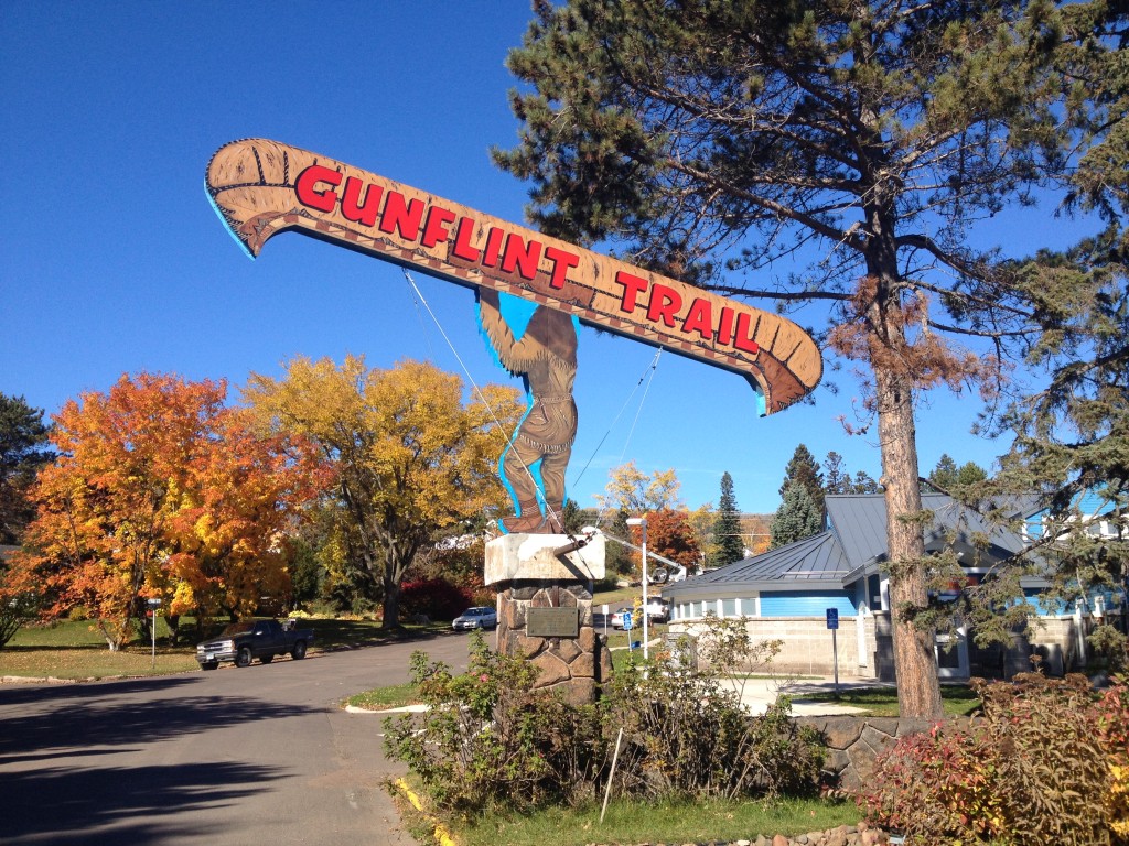
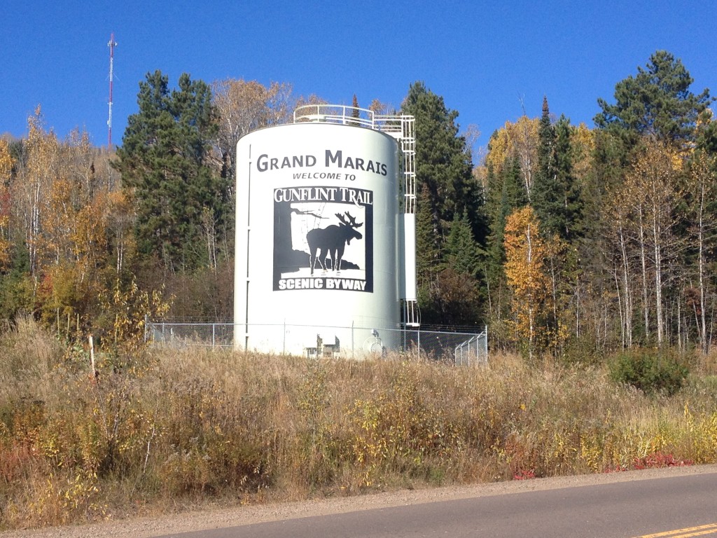
 The Gunflint Trail is a scenic byway that travels from the North Shore town of Grand Marias, MN, northwest up into Boundary Waters country for almost 60 miles. At the end of the road is a dead end, where you can continue traveling on foot or in canoe, or turn around and head back the way you came. It’s a beautiful drive, climbing into elevation away from Lake Superior and zigzagging through pine forests and past pristine lakes, rock outcrops, and scenic overlooks. The Gunflint is one of the two most common entry points for the Boundary Waters Canoe Wilderness Area in the state.
 As you make your way out of town and up over the Sawtooth Mountains, there is to be found an overlook of Grand Marais that cannot be missed. This is your last chance to view Superior before you head off the grid, and the view is breathtaking.
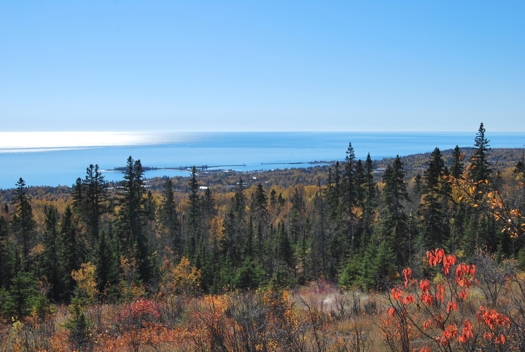
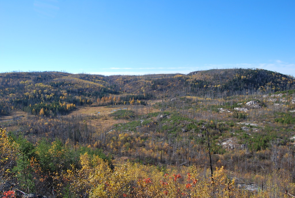
The trail winds its way deeper into the northwoods, further from civilization. Occasionally you will see turnoffs for resorts or canoe outfitters, and many parking areas where hiking trails begin.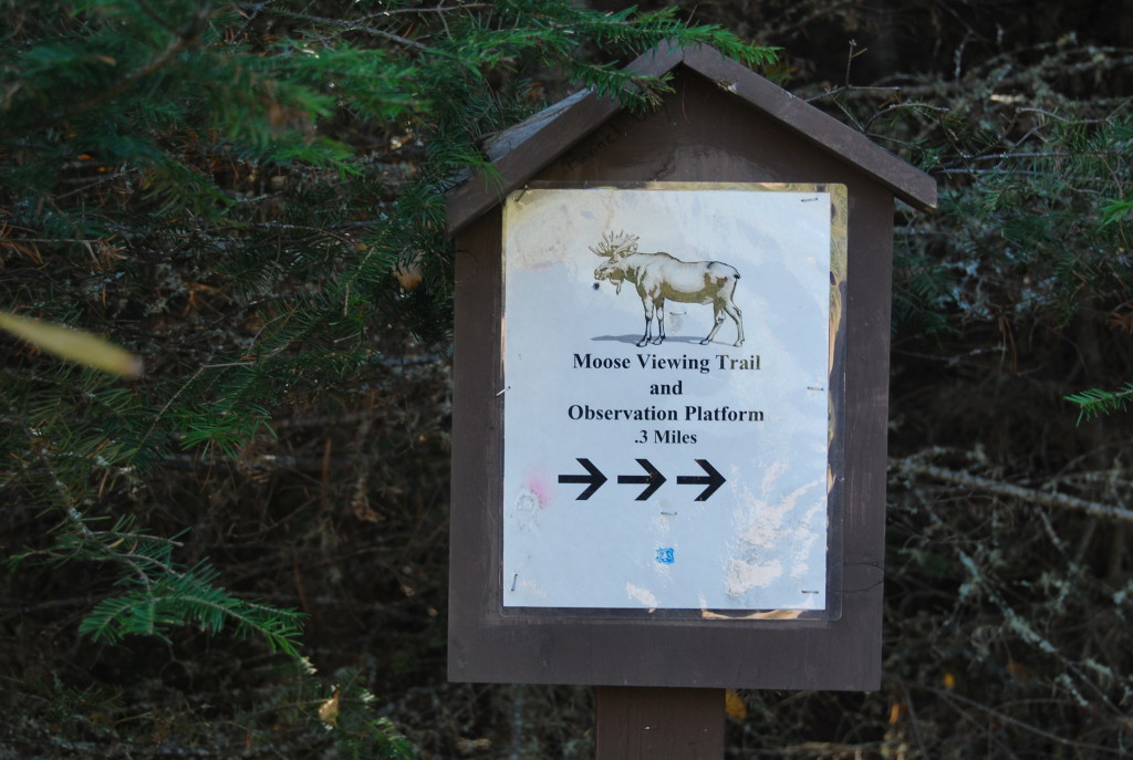 The Gunflint Trail byway is undeniably beautiful, and wildlife sightings are common. In fact, the animal you mostly hear about in this area is moose, although we didn’t see any on our trip. Other critters common of this area are bear, wolves, deer, lynx, and fox.
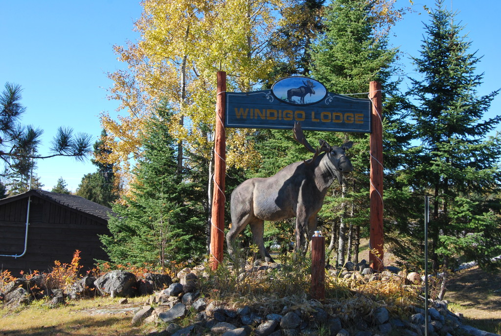
The only moose we saw on our Gunflint Adventure.
As you go further north, you are now long out of cell phone service range. There aren’t many services up here, but at about the halfway point of the journey is the gem “Trail Center.” This is one of those all-in-one joints; a resort, bar-and-grill, general store and gas station with a history of a logging camp beginnings dating back to 1938. We stopped in for a bump on our way back through. 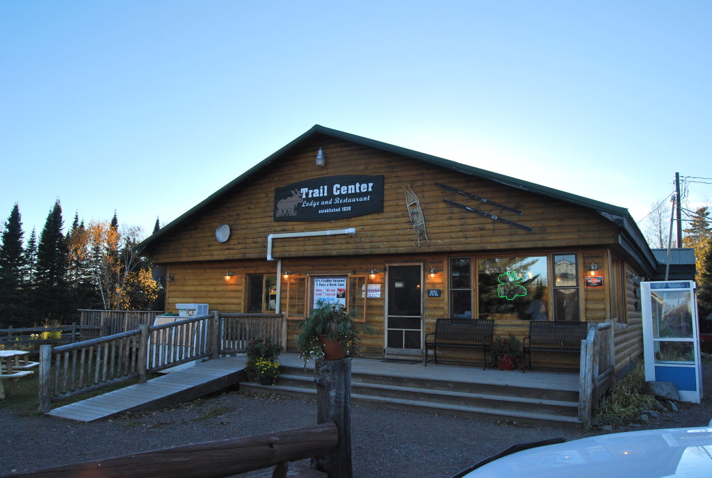
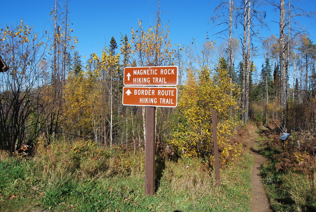
Further up the trail, the amount of traffic dies way down, but the views only get better. As you reach the turn for the iconic Gunflint Lodge, there is a pullout on the right offering a remarkable view one of the many picturesque lakes.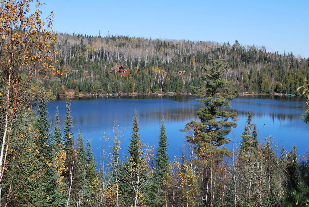 Another curious point of interest in the far north reaches of the Gunflint Trail is the Magnetic Rock hiking trail. You can park at the trailhead and follow a 3-mile roundtrip trail to the rock, which traverses rocky outcrops and sweeping views of a vista of fallen trees from a blowdown in 1999. Much of the rock you will walk on is magnetic, causing compasses to go haywire and the magnet you brought with to stick to the rock below you.
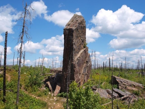
Magnetic Rock.
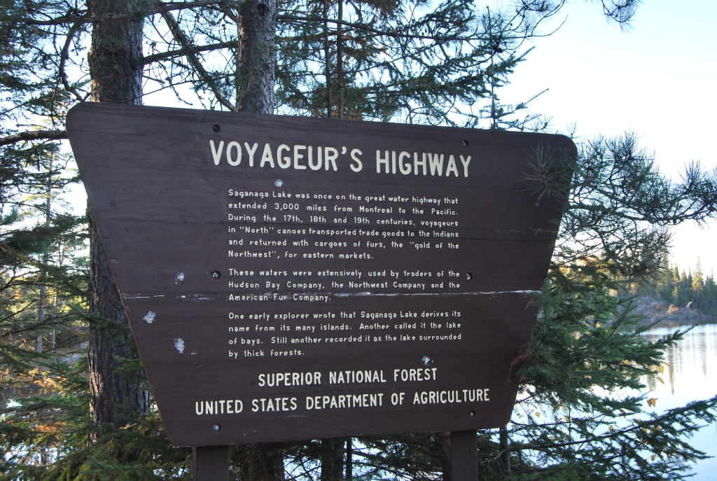
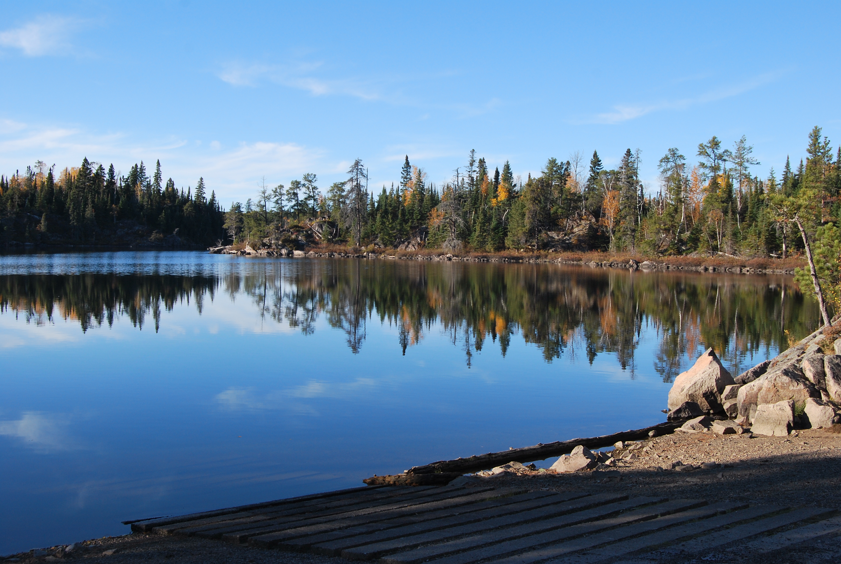
There isn’t much fanfare indicating the end of the Gunflint. There are several interpretive signs explaining the area, a boat launch for Saganaga Lake, and info on crossing into Canada into Quetico Provencial Park (their version of the Boundary Waters). At this point, the road takes a right into a short one-way loop which passes by a handful of primitive campsites in the Superior National Forest, and then you’re spit back out heading back down the Gunflint Trail.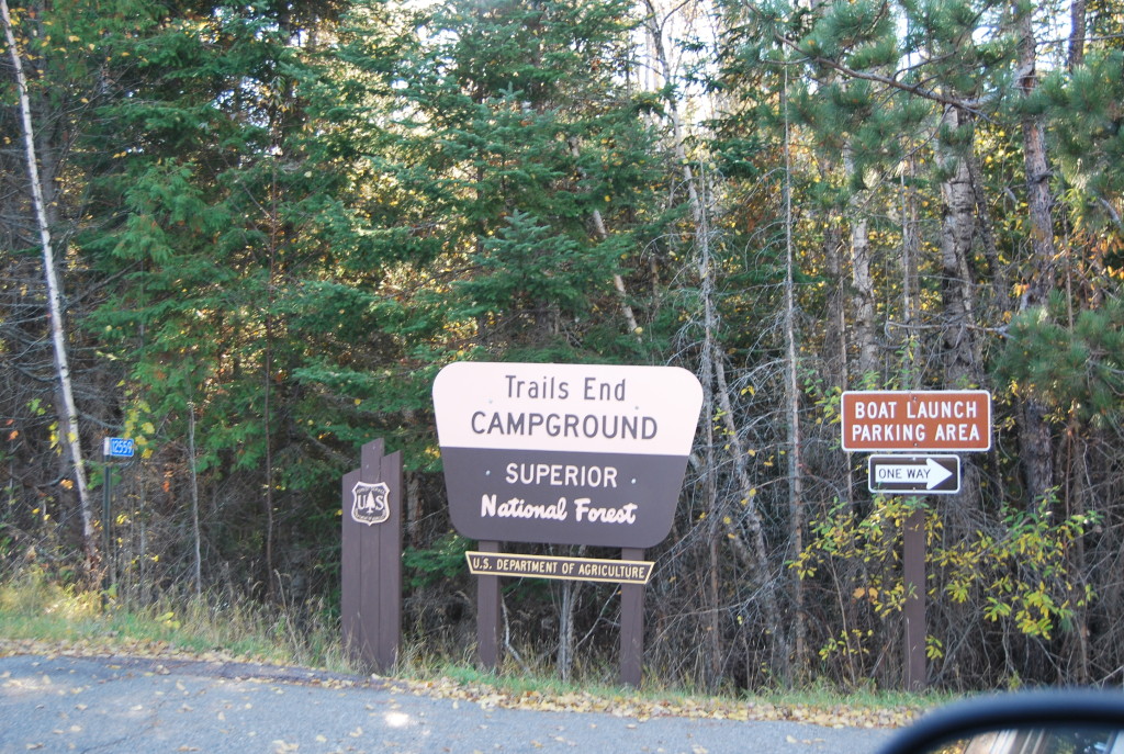
 As you navigate your way back down to Grand Marais, you will pass the occasional tourist, explorer, or even commuter for those who call the Gunflint home. It’s a fun daytrip, and certainly can be done in an afternoon depending on how many stops you want to make along this beautiful and fabled byway.